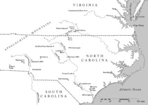
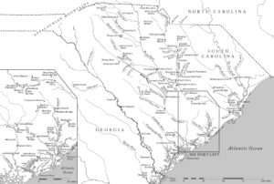
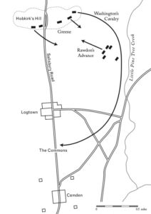
Buchanan’s book about Nathaniel Greene and the southern campaigns of the Revolutionary War included both simple battle plan maps and two wider locator maps to support the complex geographic narrative. The maps presented a few challenges: many of the riverways have been altered by damming, and type location got tight, even on a two-page spread. But the final effect ended up successful, I think. 

